Drone Vision
Drone Vision
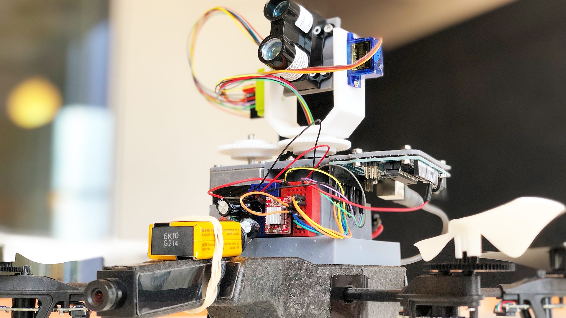
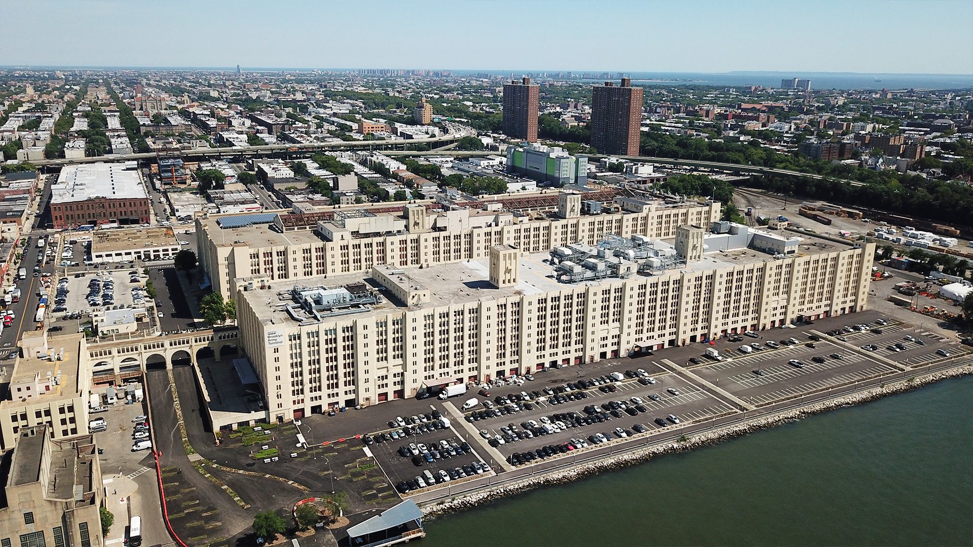
Drone Vision is Mancini’s answer to capturing the data needed to make design more intuitive for any sized project, both indoors or out! Mancini’s drones can map acres of parking lots in minutes or capture precise measurements within an office space – all flown by Mancini’s in-house, FAA-licensed, commercial drone pilot. Mancini collects and analyzes data at higher intervals to help clients make more informed decisions.
Services:
- Parking analysis
- Construction documentation
- 360 image capturing
- Development scouting
- Video and image capturing
- Interior scanning (coming soon)