Getting to Hard-To-Reach Places in Architecture
We used drones and photogrammetry technology to scan and map architectural conditions that would have otherwise been near impossible to capture.
We used drones and photogrammetry technology to scan and map architectural conditions that would have otherwise been near impossible to capture.
Have you ever had an itch in your back you couldn’t quite reach? Or stretched for something under the sofa and you just…couldn’t…get…there? Sometimes, spaces that are hard to reach or difficult to see exist in architecture, too. There can be odd corners, or nooks and crannies hidden behind immovable structures. When these spaces need to be investigated, if you can’t reach, how do you even begin?
The answer is photogrammetry. Photogrammetry is where a 3D model, map, or measurement is created using photography captured from multiple angles. Sometimes this is done in airplanes for topographic maps; other times, NASA maps out planets or moons by stitching together multiple images. For architecture, we can do this all on-site using drones.
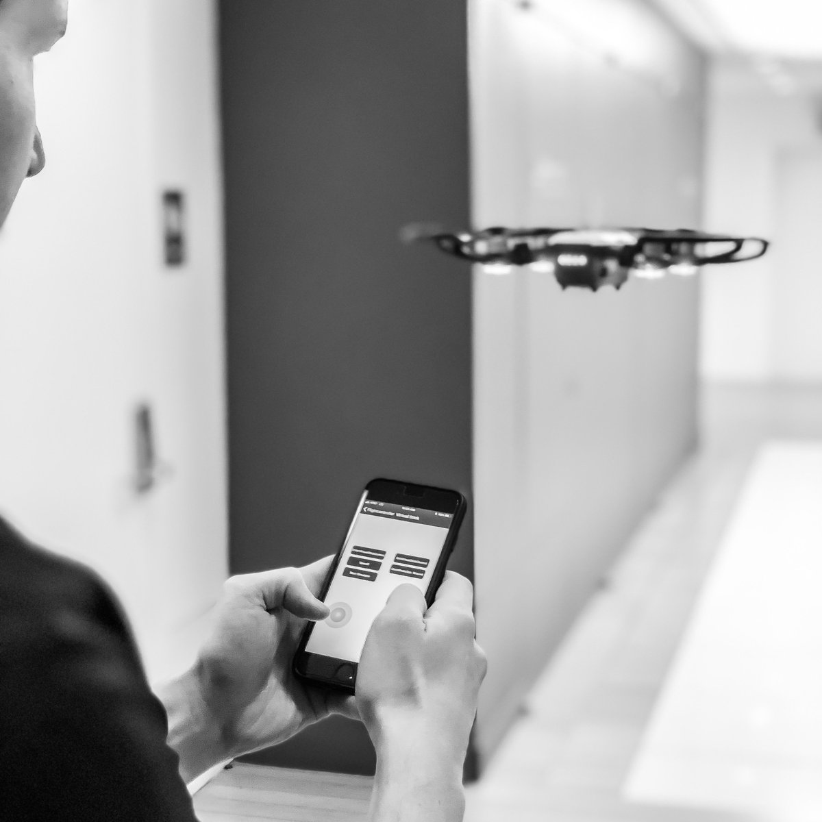
We outfit our drones with state-of-the-art cameras to take multiple photos of an area from many angles. These photos, when combined, compose a 3D image. By manipulating this image in a computer, we can analyze the area just like we would in the field.
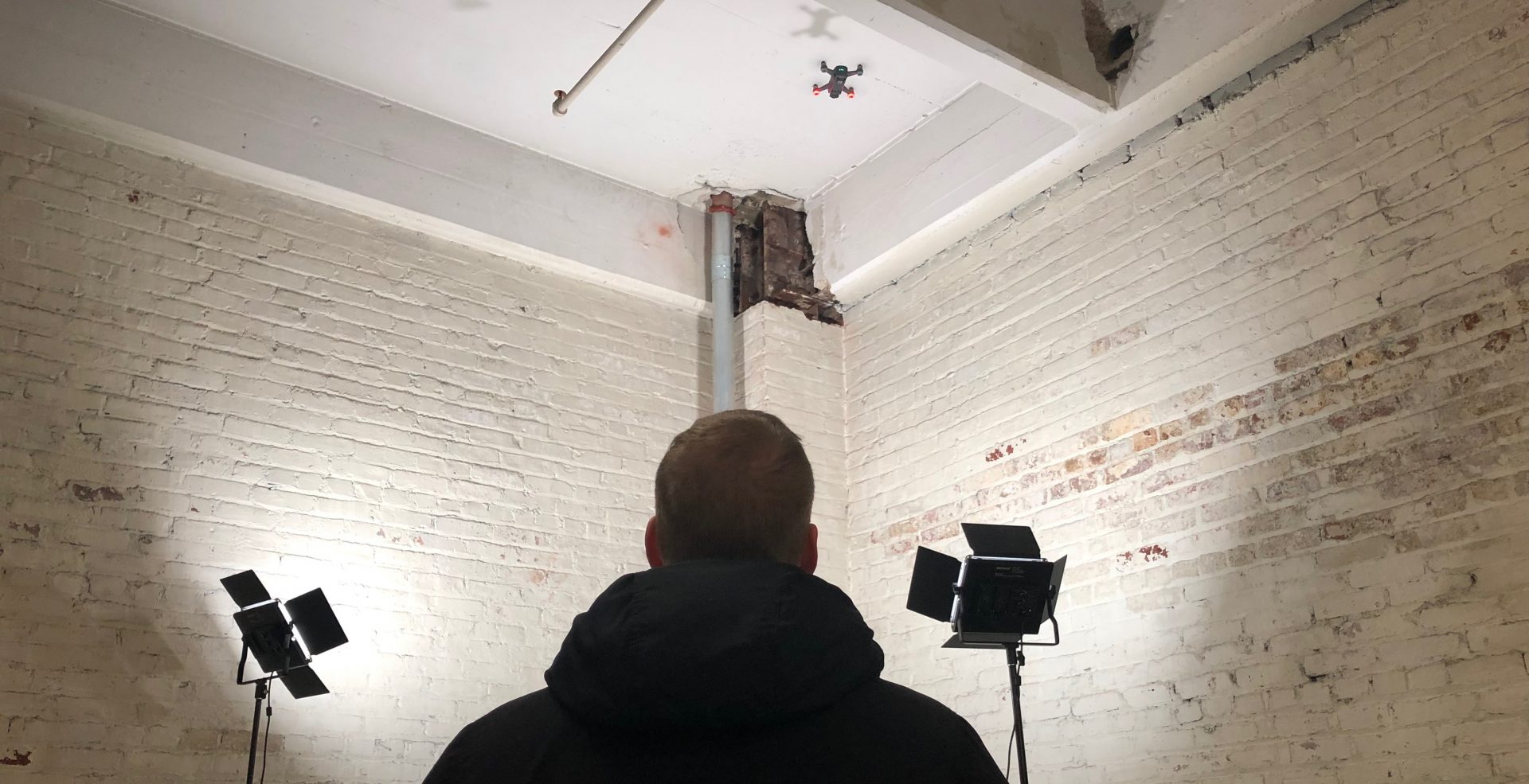
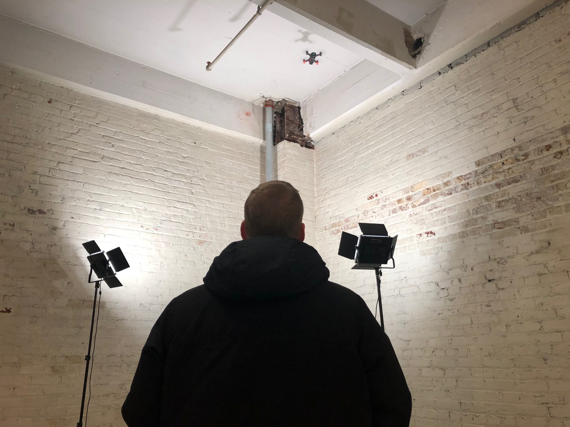
At Mancini, this technology is utilized in various ways, especially for interior and exterior conditions. At one client site, the lobby of an older construction building had high ceilings and unique column conditions that the structural engineers didn’t have existing drawings. Using a small drone, we were able to capture a fully-detailed 3D model that visualized full dimensionality and the full RGB color specturm that our software mapped over our model for an accurate, realistic view.

The drone utilizes onboard GPS, internal gyroscopes, and barometers to fly a precise, preprogrammed, arc around the area in question to capture the data. As different atmospheric conditions tease the drone off path the drone stabilizes using the onboard instruments and corrects its path with millimeters of precision. The result is a model that can be used in our architectural software that is extremely accurate and is free of ghost data that often appears in other scanning processes that can be less precise.
Every photo taken creates a diffuse map of thousands of different pieces that we compile into a 3D image to show us exactly what we’re dealing with, flying on a path that we control. This data fully informs us of issues in hard-to-reach areas where traditional measuring or photography can’t reach.

Using drones programmed for photogrammetry, we’re bridging the gaps in coordination and streamlines project decision making. Problems that once needed the dreaded “verify in field” note plastered all over construction drawings are better realized and solved during the design process, with every consultant on the same page. We are cutting down change orders and increasing client confidence in decision making by uncovering information not usually possible with standard architectural service models.